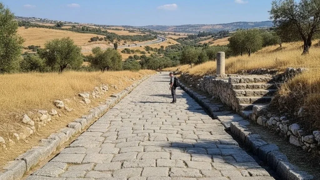
Tectonics of the Israel Jordan Rift Valley
The Syrian-African Rift, recognized within contemporary geomorphological discourse as the Great Rift Valley or the Dead Sea Transform (DST), represents one of the most prominent tectonic systems on Earth. Distinct from mountain-building orogenesis caused by convergent plate collisions, this colossal fissure is the structural result of divergent and transform plate boundaries migrating apart.
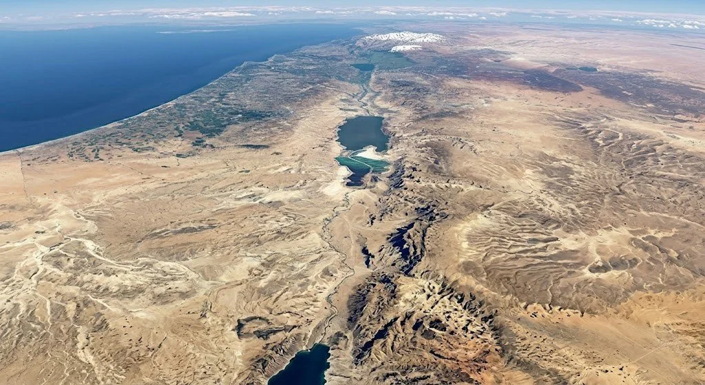
Stretching approximately 6,000 kilometers, the system initiates in southern Turkey and Syria, traverses the Levant along the borders of Lebanon, Israel, and Jordan, cuts through the Red Sea basin, and bifurcates East Africa before terminating in Mozambique. The scale of this structural depression is so immense that it remains one of the few terrestrial geological features distinctly discernible from low Earth orbit with the naked eye.
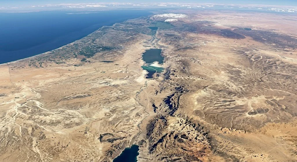
The Levantine Corridor: Topographical Contrast and Tectonics
Within the Southern Levant, this rift system manifests as a narrow, hyper-diverse geographic corridor comprising the Jordan Rift Valley, the Arava Depression, and the Gulf of Aqaba. Over a remarkably compressed latitudinal distance, the regional topography transitions dramatically.
Within a brief geographical span, the landscape shifts from the sub-alpine elevations of Mount Hermon to the lush alluvial basin of the Hula Valley, plunges to the lowest terrestrial point on dry land at the Dead Sea, and flattens into the hyper-arid expanse of the Arava Desert. This stark geographic compression is governed by continuous transform fault activity along the boundary where the Arabian Plate to the east moves northward relative to the African Plate to the west.
The Aerial Highway: Avian Migration and Thermal Dynamics
The unique geomorphology of the Jordan Rift Valley acts as a critical biological conduit, functioning as the primary intercontinental aerial highway for avian migration between Eurasia and Africa. Annually, an estimated 500 million migratory birds—including profound concentrations of white storks (Ciconia ciconia), white pelicans, and lesser spotted eagles—utilize this precise path. The steep walls of the rift valley, combined with intense solar radiation on the valley floor, generate powerful, predictable columns of rising warm air known as thermal updrafts.
Migrating raptors and large soaring birds rely on these thermals to gain altitude, allowing them to glide vast distances across continents with minimal metabolic energy expenditure. Consequently, the conservation of this specific geological corridor remains paramount for global ecological stability, as documented by long-term data from the Society for the Protection of Nature in Israel and international avian conservation frameworks.
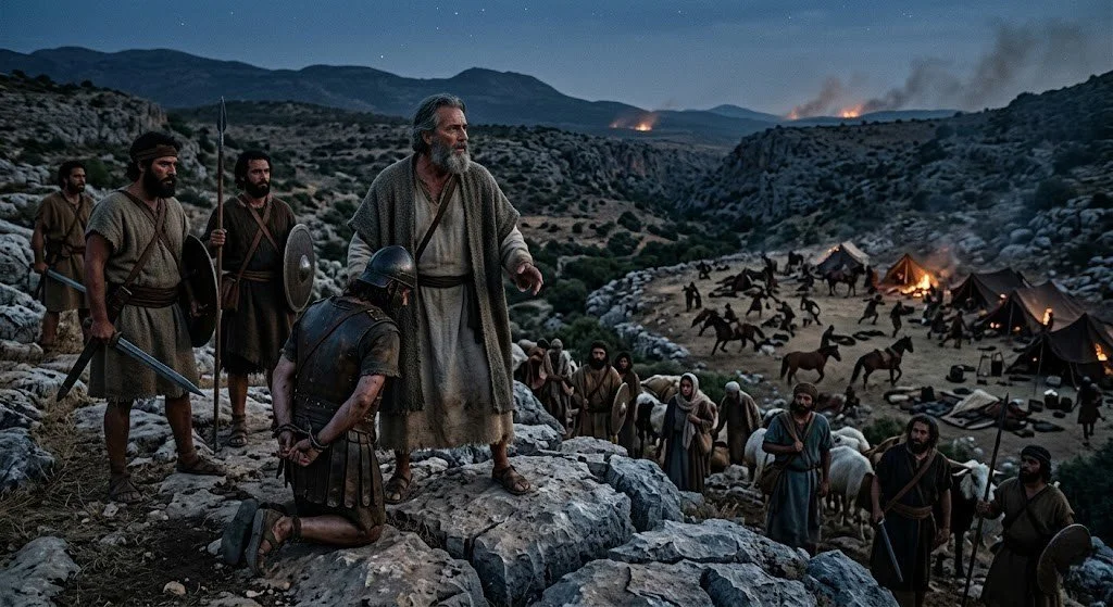
The War of the Nine Kings: Abraham's Strategy in the Kikkar
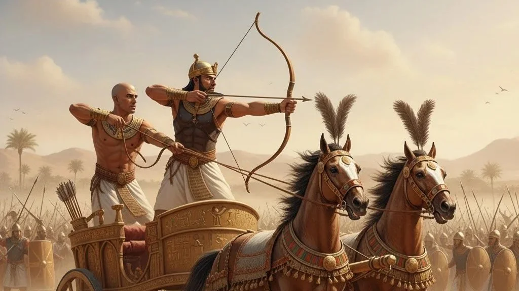
The oldest account of military campaign operations recorded in biblical literature unfolds directly within the southern basin of the Jordan Rift Valley, historically designated in Genesis as the Kikkar (the circular disk or plain of the Jordan). According to the text of Genesis 14, an eastern Mesopotamian axis led by Chedorlaomer, King of Elam, marched down the Transjordanian highway to crush a rebellion of five local Canaanite city-states—Sodom, Gomorrah, Admah, Zeboiim, and Bela—situated along the rich, alluvial plains of the rift.
The ensuing clash, traditionally known as the Battle of the Vale of Siddim, saw the northern imperial forces completely overwhelm the local alliance, routing them into the sticky asphalt and bitumen pits (hemar) that naturally pockmark this unstable tectonic fault zone. Following the capture of his nephew Lot during the sack of Sodom, the patriarch Abraham (then Abram) launched a highly sophisticated, multi-axis guerrilla counter-offensive.
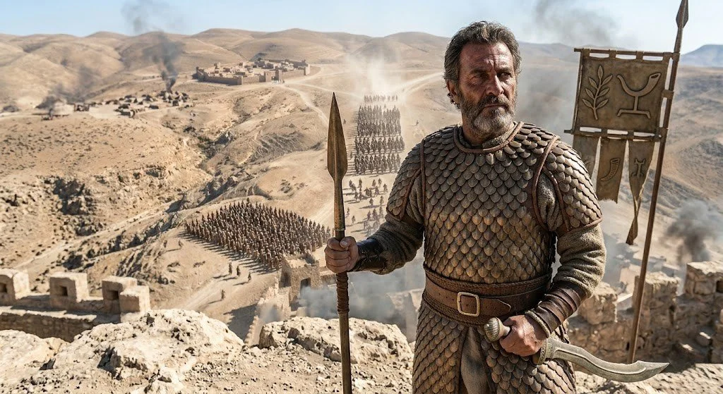
Rallying a compact, mobile force of 318 trained household retainers, Abraham executed a rapid northward pursuit along the narrow floor of the rift valley, utilizing the cover of darkness and familiarity with the fractured topography to surprise and route the unwieldy Mesopotamian coalition at Dan, effectively securing the release of the captives and recovered wealth.
Hydrological Basins and Biblical Milestones
The tectonic subsidence of the Levantine rift zone created three distinct hydrological basins, each possessing unique ecological parameters and prominent positions within biblical history:
The Hula Valley: This northern basin historically formed a vast wetland and lake matrix. It is situated directly below the headwaters of the Jordan River, where the northern meltwaters collect before descending rapidly through the steep gradient of the rift valley.
The Sea of Galilee (Lake Kinneret): Positioned at roughly 210 meters below sea level, this basin holds the distinction of being the lowest freshwater lake on Earth. In biblical geography, it marked tribal borders and later served as the geographic core of the New Testament Gospels, anchoring the maritime economy of the Roman-era Galilee.
The Dead Sea (The Salt Sea): Nestled at the terminal end of the Jordan River system, this hypersaline lake sits at approximately 430 meters below sea level. Noted in Genesis as the Valley of Siddim, its extreme salinity (exceeding 34%) prevented standard maritime navigation but turned the basin into an ancient center for mineral extraction, bitumen harvesting, and geopolitical boundary definition.
Seismic Activity and the Archaeological Record
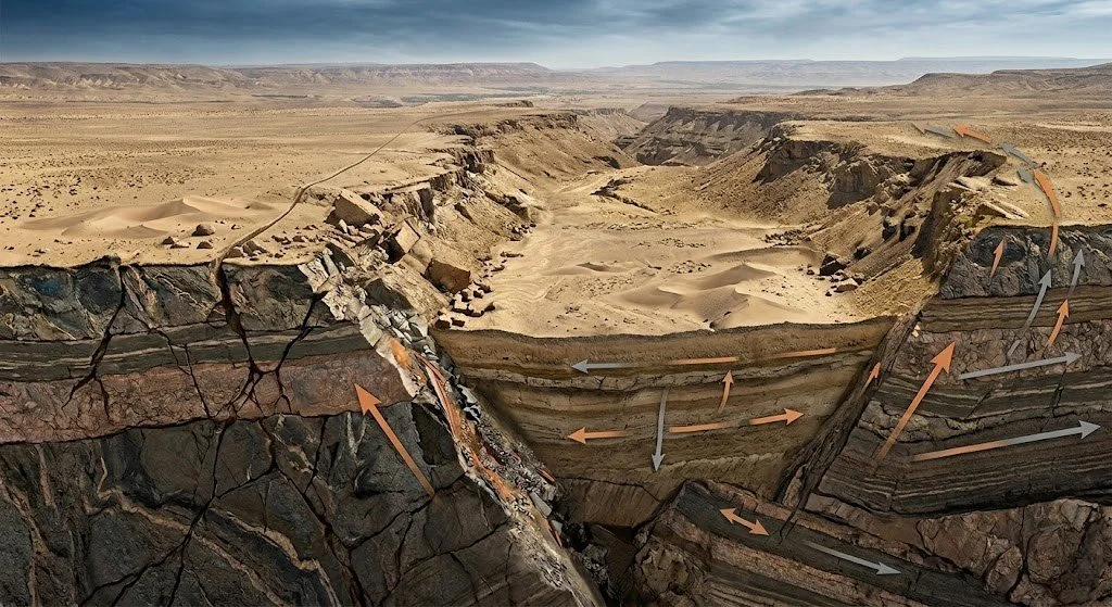
The continuous lateral movement of the Arabian Plate—which bypasses the African Plate northward at an estimated rate of 4 to 5 millimeters per year—renders the rift valley highly seismically volatile. This ongoing tectonic friction has triggered catastrophic earthquakes throughout recorded human history, leaving distinct signatures in the archaeological strata and literary record of the region.
Notable seismic events documented by the Israel Antiquities Authority include the total destruction of Byzantine Beit She'an (Scythopolis) and Tiberias during the massive earthquake of 749 CE. Furthermore, historical and structural analysts frequently correlate the region's seismic vulnerability with biblical descriptions of sudden topographical upheavals.
5 Surprising Facts About the Jordan Rift Valley
Jordan is physically out-pacing Israel northward. Due to the left-lateral transform movement along the Dead Sea Transform, the landmass on the eastern side of the rift valley (Jordan) shifts northward by several millimeters more per year than the western side (Israel).
The rift valley floor alters human respiratory physiology. At the Dead Sea basin, atmospheric pressure is notably higher than at sea level, which increases oxygen density by roughly 5% and creates a natural barometric chamber that affects metabolic respiration rates.
The biblical destruction of Sodom correlates with real-world oil and bitumen leaks. Geological surveys indicate that the southern basin of the Dead Sea sits atop active tectonic fissures that historically expelled flammable petroleum, sulfur, and natural gas pockets under seismic pressure.
The Red Sea section is widening into a future ocean. The tectonic forces driving the African and Arabian plates apart are actively splitting the landmass; in several million years, marine waters will breach the Levantine basins, converting the Jordan Valley into an oceanic trench.
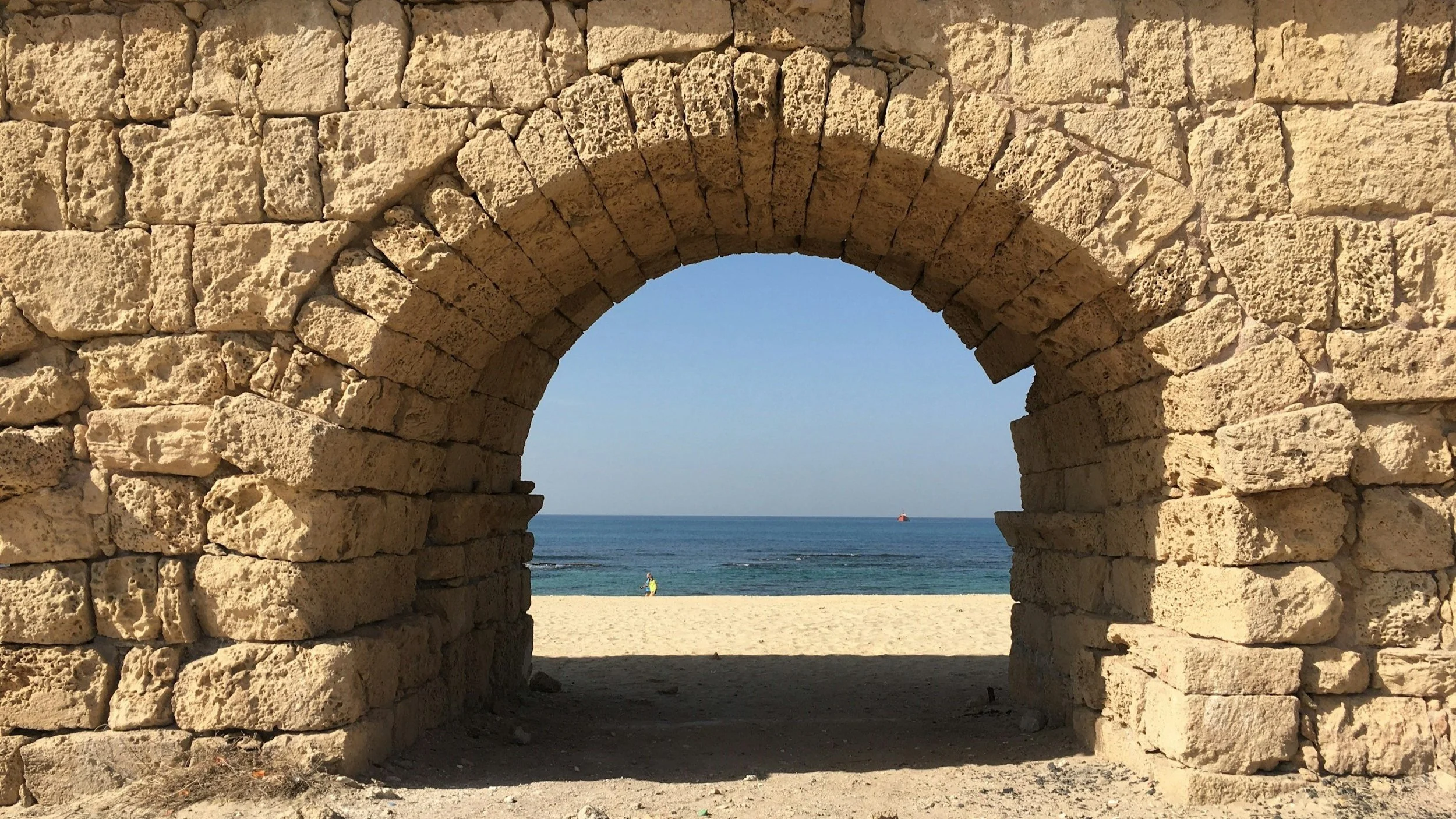
The fault lines preserved the oldest known operational water-management systems. Tectonic shifts and continuous seismic settling along the western cliffs forced ancient engineers to construct flexible, earthquake-resistant aqueducts at sites like Qumran to capture flash floods coming off the Judean Desert.
Actionable Heritage Suggestions
The Israel Museum (Archaeology Wing) — Jerusalem
Significance: This institution houses the premier collection of material culture retrieved from key archaeological excavations throughout the Jordan Rift Valley.
Practical Details: Visitors should prioritize the Bronze and Iron Age Sections to view structural elements, cultic vessels, and epigraphic evidence recovered from biblical sites within the valley, including ancient Hazor and Jericho. Early morning visits on weekdays offer optimal conditions for studying these dense archival displays.
Tel Hazor National Park — Upper Galilee
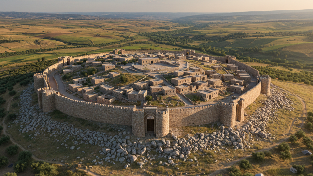
Significance: Positioned on the northern choke point of the rift valley, this UNESCO World Heritage site was the largest fortified metropolis in Canaan, frequently mentioned in the Books of Joshua and Judges.
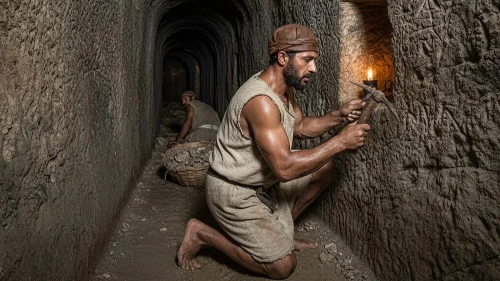
Practical Details: Explore the massive Iron Age water system that plunges deep into the rift's subterranean water table and the preserved scorched strata that match biblical accounts of the city’s destruction. Late afternoon visits provide excellent directional lighting for architectural photography of the monumental palace ruins.
Beit She'an National Park — Lower Jordan Valley
Significance: Situated at the strategic junction of the Jordan Valley and the Jezreel Valley, this site preserves the immense structural damage caused by the historic 749 CE earthquake along the fault line.
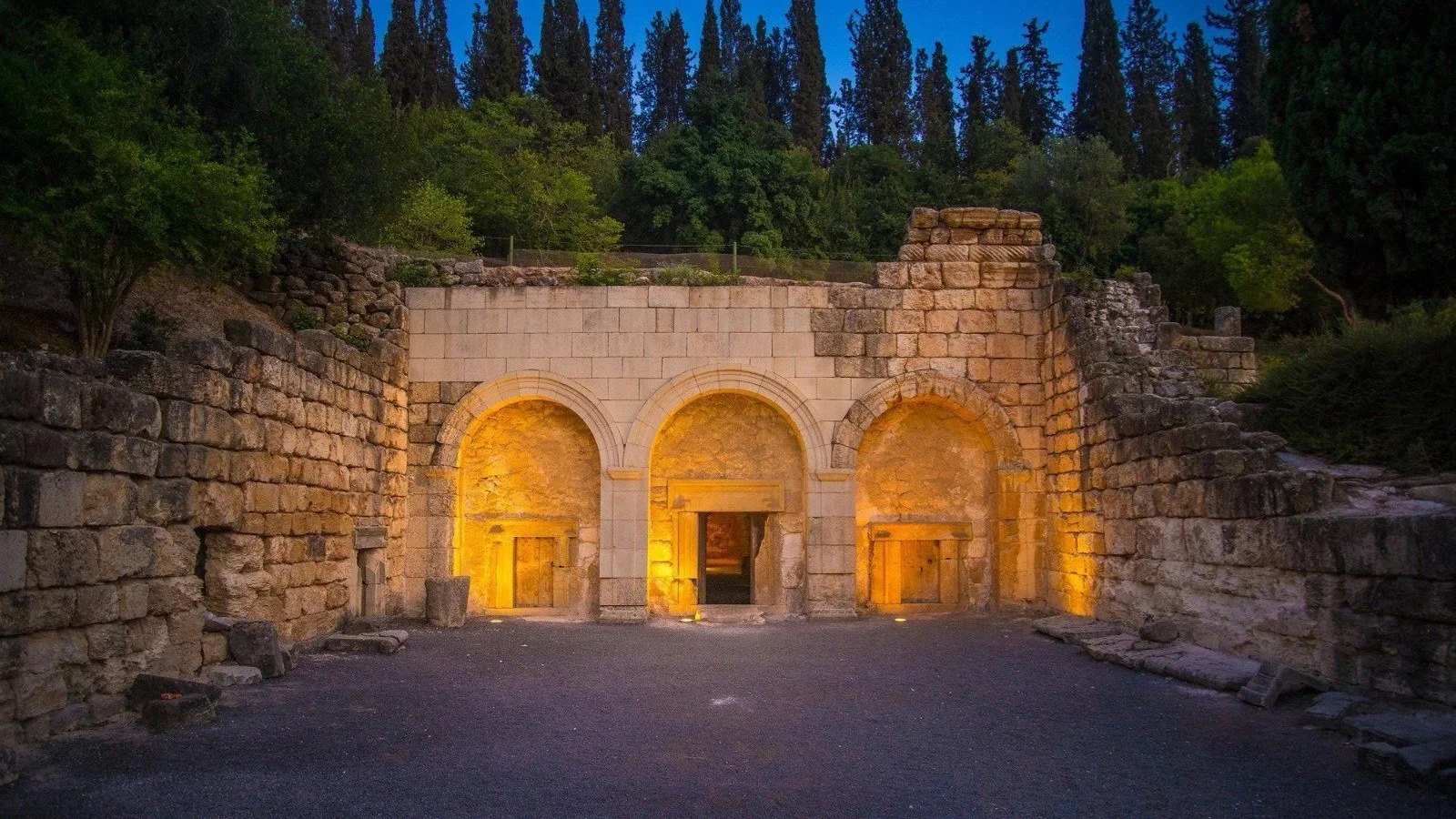
Practical Details: Walk down the Palladius street to view columns that collapsed in a uniform direction during the seismic event. To fully appreciate the scale of the rift valley and its tactical military value in the biblical period (1 Samuel), climb to the summit of the ancient high tell.
Qumran National Park — Dead Sea Basin
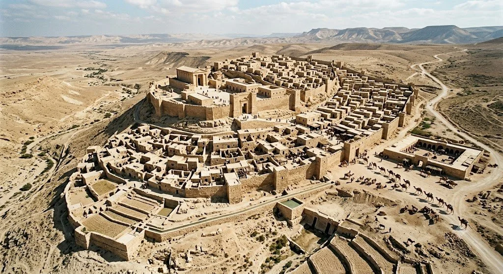
Significance: Located on the marl terraces of the Dead Sea fault line, this site provides structural evidence of how ancient sectarian communities adapted to the hyper-arid, seismically active geology of the rift.
Practical Details: View the complex network of aqueducts and ritual baths designed to handle tectonic shifting and flash floods. The site is best visited during the winter months when the ambient temperatures in the deep basin drop to comfortable levels for outdoor exploration.
No ads, no commercials, just high-quality content.
If you find our work valuable, we would be grateful for your support. Your contribution helps us continue our mission of providing high-quality content and sharing it with an even wider audience. Support Our Mission