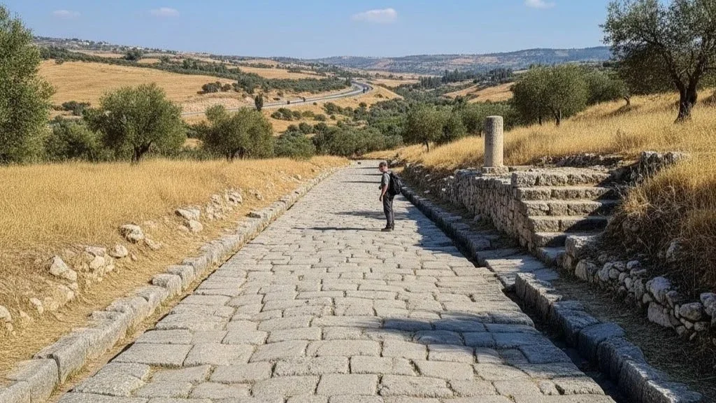
Logistics of the Negev’s UNESCO Nabatean Incense Route
The Nabatean incense route in the Negev Desert represents one of the most critical ancient spice trade pathways, directly linking the Arabian Peninsula to the Mediterranean ports from the 3rd century BCE to the 2nd century CE. By engineering highly sophisticated desert water-harvesting systems, the Nabateans established critical caravan cities like Avdat, Mamshit, and Shivta, transforming hyper-arid environments into highly lucrative commercial hubs.
This extensive logistics network fundamentally shaped the geopolitical economy of the ancient Greco-Roman world by securing a monopoly on highly prized frankincense and myrrh.
The Geopolitical Scale of the Ancient Spice Trade Avdat
The economic ascendancy of the Nabatean Kingdom relied entirely on their ability to navigate and control the inhospitable terrain of the Negev Desert. Acting as the essential geostrategic bridge between Southern Arabia and the Mediterranean basin, the Nabateans managed an intricate commercial network that moved thousands of tons of luxury goods annually.
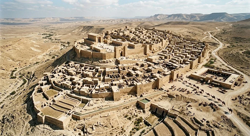
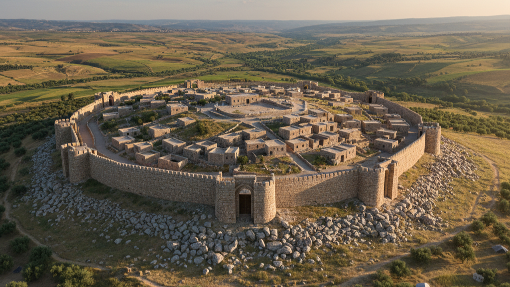
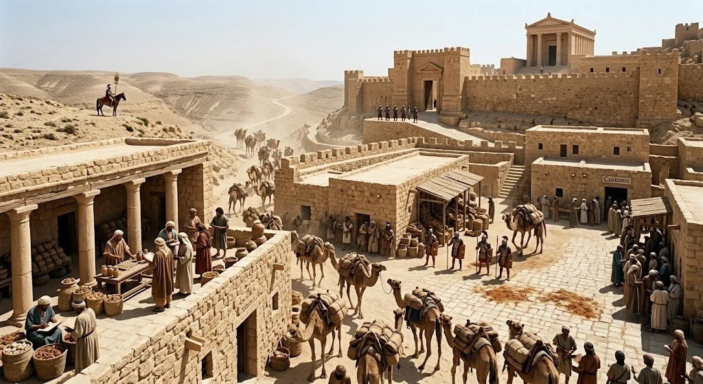
The caravan city of Avdat served as a primary fortress and trading outpost along this route, commanding the high ridges of the central Negev. From this vantage point, Nabatean administrators regulated trade volumes, collected steep customs duties, and provided armed escorts to protect vulnerable merchant caravans from nomadic raiders.
Geopolitical shifts within the Roman Empire heavily dictated the development and eventual militarization of these desert outposts. As European demand for luxury aromatic resins reached its zenith during the early Roman Imperial era, the financial throughput of the Nabatean incense route Negev grew exponentially.
The massive revenues generated by taxing frankincense and myrrh allowed the Nabateans to maintain a high degree of political autonomy despite being bordered by aggressive imperial superpowers. However, this strategic economic independence came to a definitive end in 106 CE, when Emperor Trajan officially annexed the Nabatean Kingdom into the Roman province of Arabia Petraea, directly absorbing their lucrative trade networks into the imperial fiscal system.
Architectural and Logistical Milestones of Caravan Cities
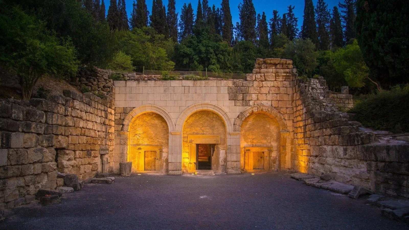
The urban planning displayed within the Negev caravan cities showcases a unique blend of nomadic adaptability and sedentary Hellenistic architectural engineering. Unlike traditional Mediterranean cities built near permanent rivers, cities such as Mamshit and Shivta were constructed around specialized limestone cisterns and complex subterranean reservoirs.
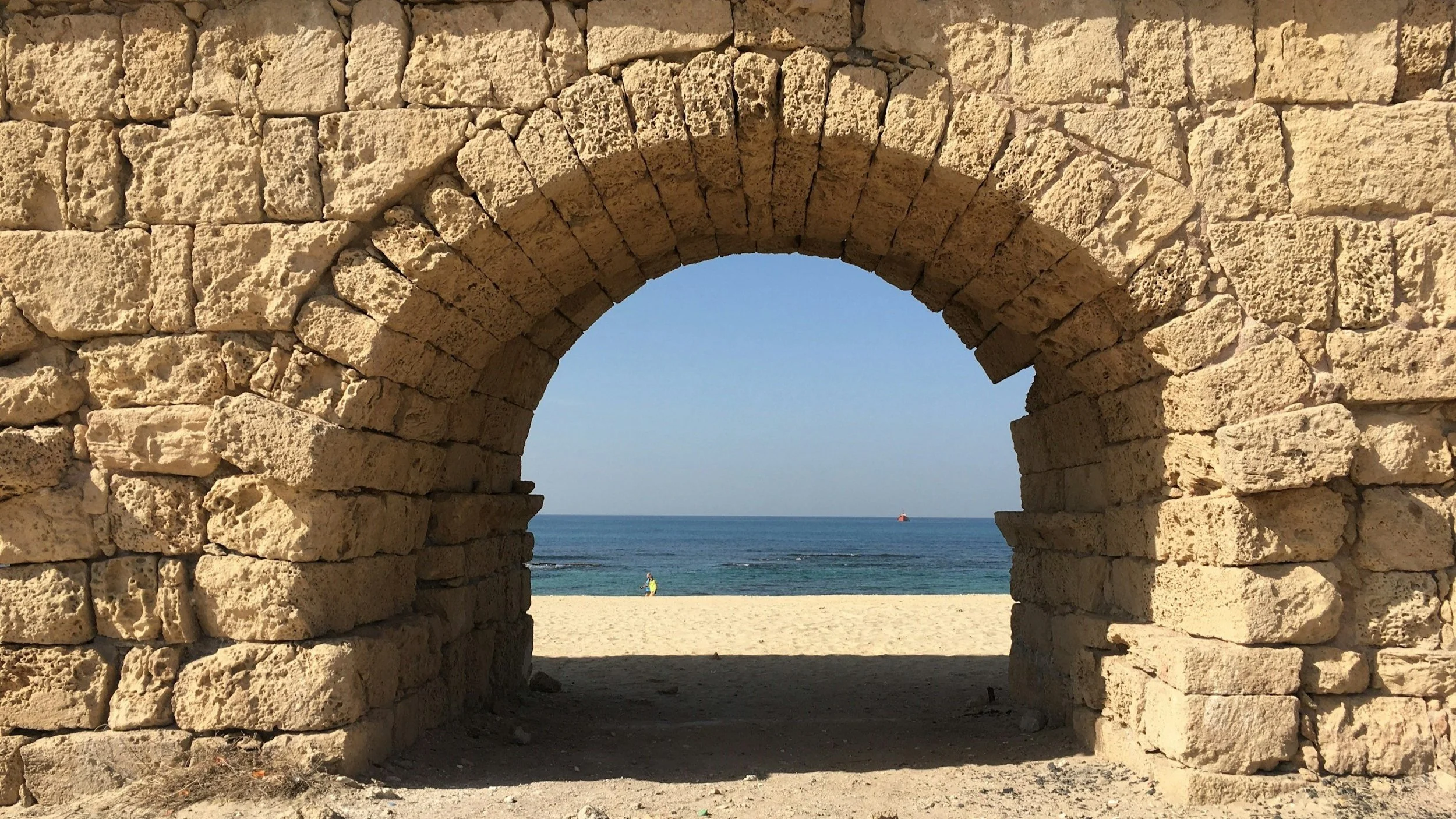
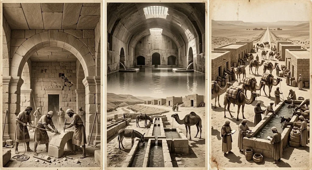
Nabatean masons developed advanced structural techniques, including the widespread deployment of broad stone arches to support heavy stone slab ceilings. This architectural innovation drastically minimized the need for timber, an exceedingly scarce resource in the hyper-arid Negev environment, while simultaneously lowering interior building temperatures.
Logistically, the survival of these cities depended on a precisely timed network of intermediate waystations spaced exactly one day’s camel march apart—roughly 30 to 35 kilometers. Each station offered incoming caravans secure storage for precious trade goods, quarters for merchants, and immense water troughs for hundreds of draft animals.
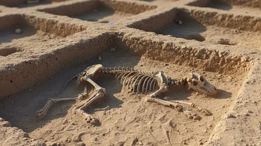
The archaeological preservation of these sites highlights the rigid structural standardization enforced across the network to maximize efficiency. When the maritime trade routes via the Red Sea began to expand, these terrestrial stations adapted by diversifying their local economies, shifting focus toward regional horse breeding and intensive wine production to sustain their urban populations.
Advanced Desert Agriculture and Hydrological Engineering
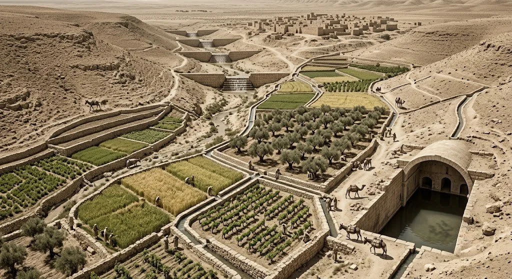
The expansion of permanent settlements along the incense route required the development of unprecedented methods of ancient desert agriculture to achieve local food security. The Nabateans mastered the art of runoff farming by mapping the specific topography of local wadis (dry ephemeral riverbeds) and constructing robust stone check-dams to capture seasonal flash floods.
By diverting torrents of winter rainwater into terraced fields, they successfully saturated the loess soils of the desert, enabling the large-scale cultivation of barley, wheat, olives, and grapes. This sophisticated hydrological manipulation completely defied the geographic limitations of an environment that received less than 100 millimeters of annual rainfall.
Furthermore, the hillsides surrounding cities like Shivta were carefully cleared of loose stones to create deliberate runoff channels, maximizing the volume of water directed into public cisterns. These engineering marvels allowed the caravan cities to transition from temporary trade stops into highly resilient agricultural oases.
The agricultural surplus not only sustained the local populations but also provided vital provisions for the massive merchant caravans moving through the region. This masterclass in environmental resource management remains a primary reason why the cultural landscape is recognized today as a Negev UNESCO World Heritage property.
The Hydrological Mechanics of Nabatean Cistern Networks
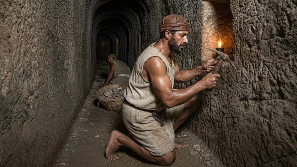
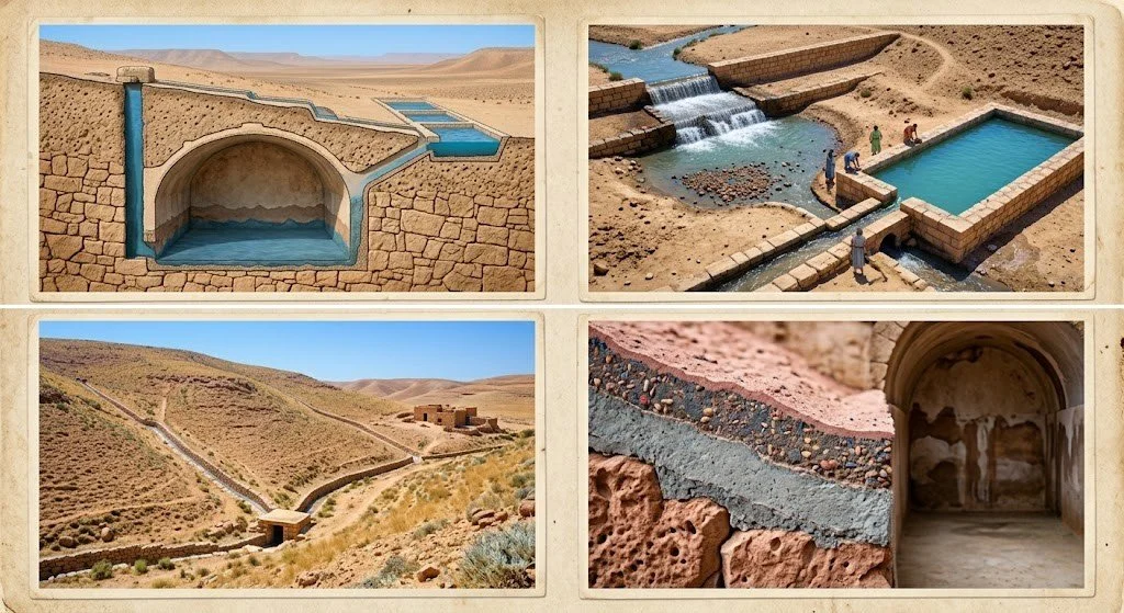
The absolute survival of the Nabatean incense route across the Negev Desert depended on highly sophisticated, covert water engineering that baffled rival empires for centuries. Nabatean engineers dug vast, subterranean cisterns directly into the impermeable chalk and limestone layers of the desert bedrock, deliberately concealing the entrances from outsiders.
To prevent contamination and minimize the catastrophic effects of evaporation in hyper-arid conditions, these reservoirs were completely enclosed and accessed only via narrow vertical shafts. The interior walls were finished with multiple layers of hydraulic plaster composed of lime, ash, and crushed ceramics, creating a highly durable waterproof seal. Siltation basins were constructed immediately upstream from the cistern inlets to filter out heavy gravel and debris carried by violent seasonal flash floods.
This dual-chamber filtration system ensured that incoming water was purified before settling into the primary holding tanks. By systematically mapping regional topography, the Nabateans designed expansive networks of surface channels that funnelled every drop of sporadic hillside runoff directly into these hidden storage facilities. This unparalleled mastery of water conservation allowed small garrisons to hold strategic points indefinitely, effectively using hydrological secrecy as a powerful military defense mechanism.
The Macroeconomics of Aromatic Resin Monopolies
The trade of frankincense and myrrh along the Nabatean incense route constituted one of the most lucrative commercial monopolies in classical antiquity, rivaling the economic impact of the silk trade. Collected from the sap of Boswellia and Commiphora trees native to modern-day Oman and Yemen, these aromatics were absolutely essential for religious, medical, and funerary rituals across the Greco-Roman world.
The Nabateans successfully positioned themselves as the exclusive logistical middlemen, dictating prices by strictly controlling the dangerous overland transport across the Arabian Peninsula. Pliny the Elder documented that frankincense amassed exorbitant costs due to the extensive accumulation of taxes, transit tolls, and mandatory tribute payments demanded at every caravan city along the route.
By the time a single shipment reached the Mediterranean port of Gaza, the base value of the spices inflated by several hundred percent. This massive influx of capital transformed the historically nomadic Nabateans into elite merchant princes who minted their own high-quality silver coinage to facilitate international trade. The immense wealth generated by this monopoly directly funded the monumental stone-cut architecture of Petra and the highly fortified outposts found throughout the central Negev.
5 Surprising Facts About the Nabatean Incense Route
The Nabateans deliberately spread myths about winged serpents guarding spice trees to deter rival kingdoms from discovering the true geographical sources of their wealth.
Though situated deep within a hyper-arid desert environment, the caravan city of Shivta featured an expansive public bathhouse complex supplied entirely by engineered rainwater harvesting systems.
During the Byzantine period, the Nabatean caravan cities underwent a major economic pivot, transforming into world-renowned exporters of elite vintage wines prized across western Europe.
The distinctive, thin-walled Nabatean pottery was fired at such exceptionally high temperatures that it achieved an elastic, metallic resonance comparable to modern fine bone china.
To protect their vital trade assets, the Nabateans developed a highly specialized breed of desert camel capable of traveling triple the distance of standard pack animals without water.
Actionable Heritage Suggestions
The Acropolis of National Park Avdat
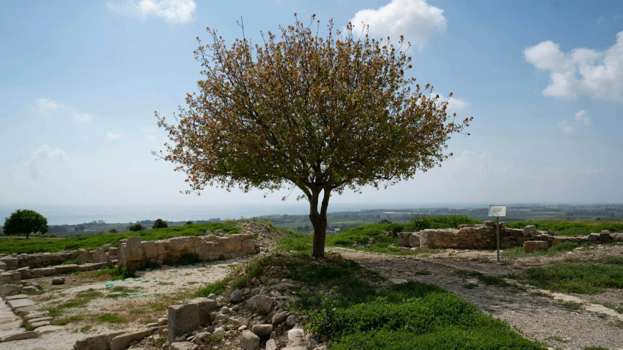
Located on a prominent ridge in the central Negev, this site offers unparalleled insight into Nabatean military architecture and late-antique urban evolution. Visitors should focus their attention on the monumental Roman-era fortress walls and the remarkably preserved Byzantine churches built directly over older Nabatean shrines. The early morning hours provide optimal lighting conditions for historical architectural photography, sharply defining the intricate relief carvings on the limestone lintels.
The Defensive Architecture of National Park Mamshit
As the smallest but most thoroughly fortified Nabatean city in the Negev, Mamshit provides an exceptional look at ancient urban security and elite domestic planning. Exploration should center on the "Wealthy House," a massive two-story villa featuring internal courtyards and intact stone arches that demonstrate advanced engineering stability. Walking the perimeter of the ancient dams in the nearby wadi reveals the exact scale of the city's historic flood-control infrastructure.
The Unwalled Agricultural Ruins of Shivta
Unlike its highly fortified sister cities, Shivta was constructed without a defensive perimeter wall, indicating a reliance on regional stability and isolation for protection. A thorough walking tour should prioritize the complex residential quarters, which showcase sophisticated private water cisterns embedded directly into the domestic courtyards. The late afternoon offers soft, directional light that beautifully accentuates the preserved Byzantine plaster and agricultural terracing surrounding the site.
The Ancient Spice Route Trails of Ramon Crater
For a direct encounter with the raw logistics of ancient desert commerce, exploring the preserved trail sections near the Ramon Crater remains essential. Walking the path toward the Saharonim Fort waystation allows researchers to view the structural remains of a dedicated Nabatean overnight caravanserai. This specific desert sector provides an authentic sense of the vast, rugged topography that ancient merchant caravans had to navigate daily.
No ads, no commercials, just high-quality content.
If you find our work valuable, we would be grateful for your support. Your contribution helps us continue our mission of providing high-quality content and sharing it with an even wider audience. Support Our Mission