Ancient Roman Roads in Israel
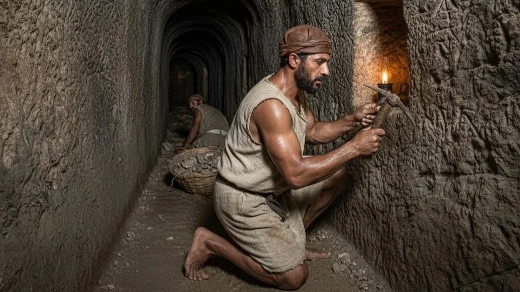
Roman roads were remarkable feats of engineering that showcased the advanced construction skills developed by the Roman Empire and applied across its extensive territories. These roads were meticulously planned and built, beginning with precise surveying using tools like the groma to lay out straight routes with exceptional accuracy. Engineers would then excavate large trenches, typically about three feet deep and over twenty feet wide, to establish a solid foundation.
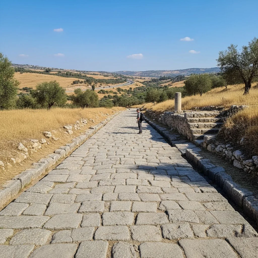
The road structure was carefully layered: a bottom statumen layer of large, hand-fitted stones; a rudus layer of crushed rock and lime forming a coarse concrete; a nucleus layer of fine concrete often mixed with volcanic ash that strengthened when wet; and finally, the summa crusta, a surface of hand-cut polygonal stones precisely fitted together. Designed with a raised center or camber for drainage, Roman roads efficiently pushed rainwater to side ditches, preventing water damage and ensuring immense durability. This careful engineering enabled Roman roads to endure centuries of use and harsh weather conditions.

The road network extended across diverse terrains—from mountains to deserts—adapted to local materials but adhering to the principles of durability, straightness, and practical use. These roads were crucial for military movements, commerce, communication, and cultural exchange, linking Rome with far-flung provinces. Their lasting quality is evident today, as many modern highways in Europe and the Middle East follow the original Roman routes, reflecting the empire's enduring legacy in civil engineering.
Roman roads are an essential part of Israel's rich archaeological and historical heritage. Built by Roman engineers more than 1,800 years ago, some of these roads have remarkably survived and can still be seen at various locations across the country. The Romans brought the same technical precision used throughout the empire to Israel, constructing these roads with layered stonework including large stone foundations, volcanic ash concrete, and tightly fitted polygonal stones. This robust construction ensured long-lasting durability and effective drainage, letting many roads withstand the millennia since their creation.
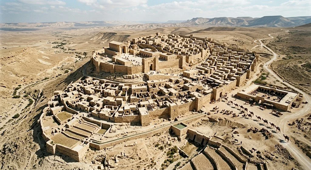
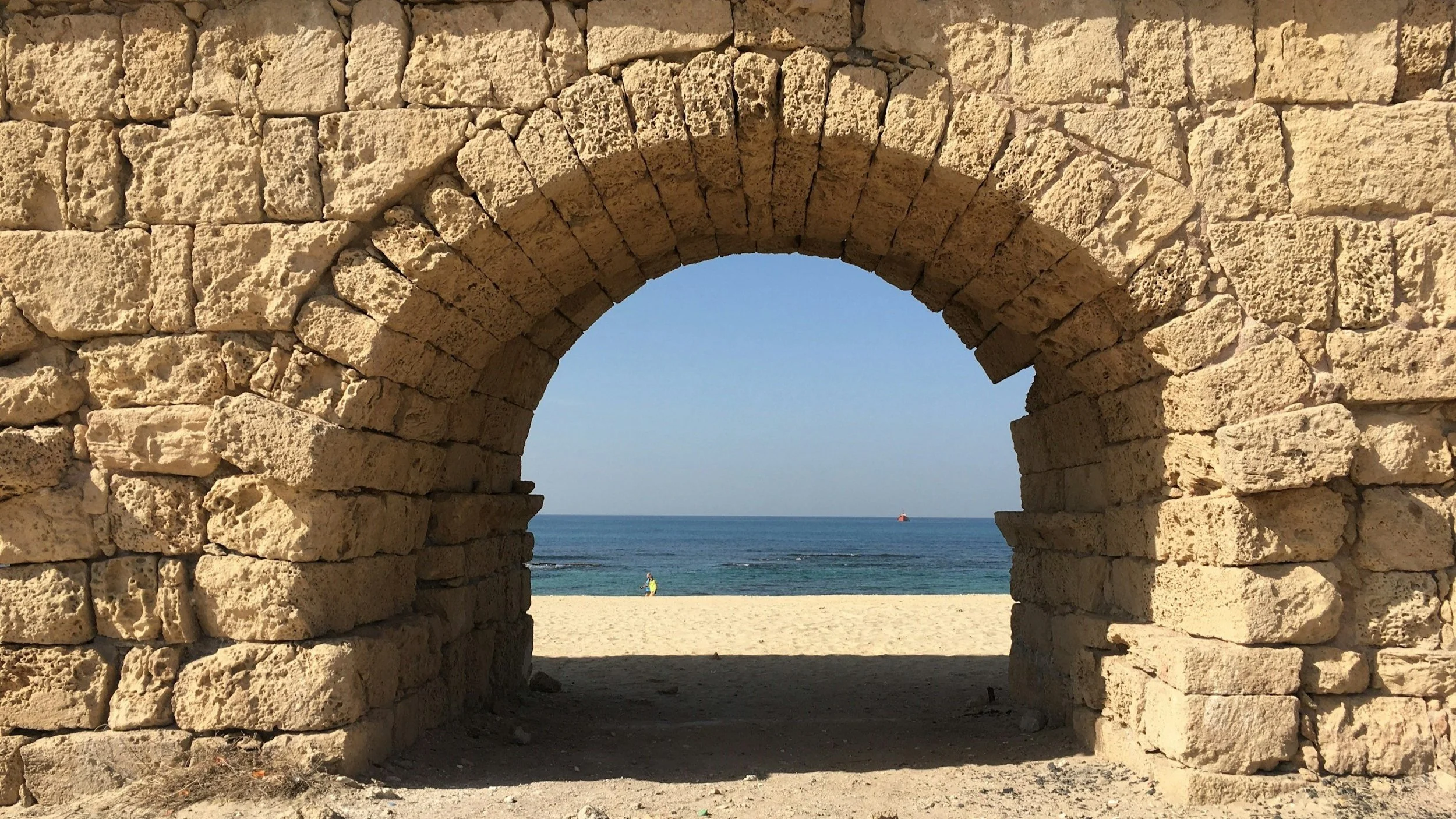
In Israel, these roads served critical military, commercial, and religious functions, connecting key cities, military outposts, and pilgrimage sites. They formed vital arteries for moving troops swiftly, facilitating trade, and enabling pilgrims to reach sacred destinations. Among the notable examples is the Lod-Emmaus-Jerusalem road, a major route leading from the west into Jerusalem. Visitors can explore preserved sections near Sha’ar Hagay and Nahal Ilan valley, where original Roman steps are still carved into the rock. Another important route runs from Ashkelon to Beit Guvrin and the Elah Valley, with milestones and well-preserved segments uncovered near Beit Shemesh and Horvat Hanut. Additionally, the northern reaches of the network extend into the Galilee, evidenced by a recently discovered Roman road near Rumat al-Heib, connecting cities like Acre, Sepphoris, and Tiberias during the second century AD.
These remains tell a compelling story of the Romans’ engineering brilliance and the empire's extensive reach into ancient Israel. The roads made rapid military mobilization, trade, and religious pilgrimages possible, thereby shaping the region’s historical landscape and urban development. Today, walking along these ancient roads or viewing them at archaeological sites offers a tangible connection to the past, bringing history vividly to life underfoot.
Exploring Roman roads in Israel offers travelers a unique gateway to understanding how the Roman Empire’s infrastructure shaped the development of Jerusalem and other historical cities. This broader context of Roman civil engineering enhances the local stories by linking Israel’s archaeological sites to the empire's global network, demonstrating the timeless impact of Roman road-building.
Best option for you to explore: Including these Roman road sites in your itinerary enriches any historical or archaeological visit to Israel, offering deep appreciation for the empire’s lasting imprint on the country’s roads and urban fabric. These ancient pathways vividly illustrate the blend of engineering excellence and historical significance that continue to mark Israel’s landscape today.
The Roma Cardo in Jerusalem
Beneath the bustling lanes of Jerusalem’s Jewish Quarter lies the Cardo, one of the most vivid reminders of ancient Roman urban planning. Originally laid out in the 2nd century CE during Emperor Hadrian’s rebuilding of Jerusalem as Aelia Capitolina, the Cardo served as the city’s main north-south thoroughfare. Today, its restored stone-paved stretch offers visitors a rare chance to literally walk on the same road laid by Roman engineers nearly 1,900 years ago. Massive flagstones, still bearing cart wheel grooves, clearly mark the original Roman road surface. Alongside stand the remains of ancient columns and shopfronts that once lined this grand boulevard.
No ads, no commercials, just high-quality content.
If you find our work valuable, we would be grateful for your support. Your contribution helps us continue our mission of providing high-quality content and sharing it with an even wider audience. Support Our Mission